Cart Ruts in Il-Majjistral Nature & History Park, Malta
Cart Ruts near Mellieha
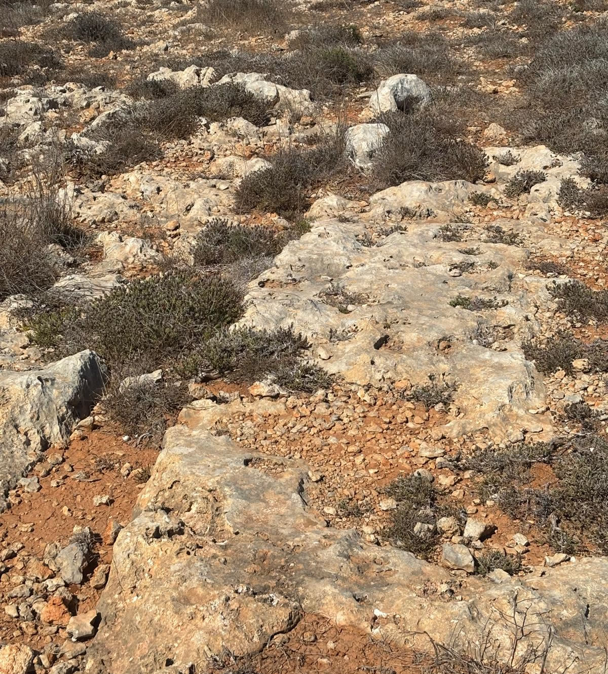
What Are Cart Ruts?
Cart ruts are parallel grooves cut into the limestone bedrock.
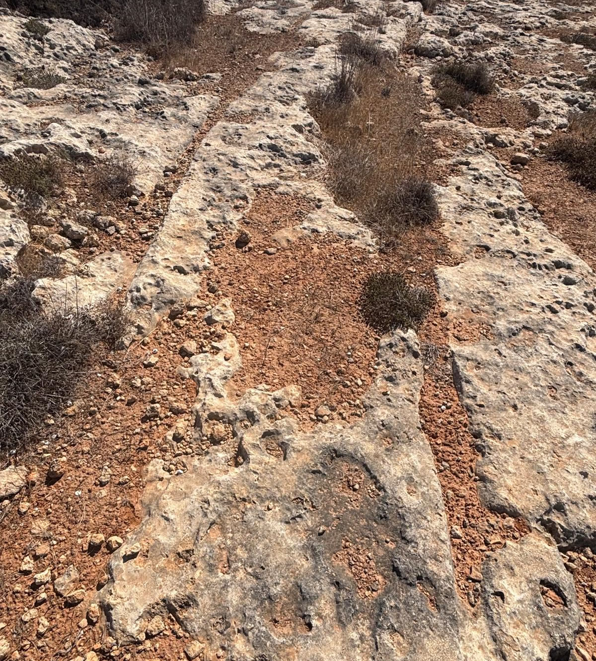
They typically measure:
Width between ruts: ~1.4 m (varies slightly).
Depth: ranges from shallow (a few cm) to deep (up to 60 cm).
They are found across Malta and Gozo (over 150 sites), with famous examples at Clapham Junction, Buskett, Dingli, Naxxar, San Pawl tat-Tarġa.
About the Park
Located in northern Malta, Il-Majjistral covers a stretch from Golden Bay to Popeye (Anchor) Bay —a protected zone combining ecological, rural, and cultural heritage. It’s known for its dramatic coastal cliffs, garigue scrubland, rare flora and fauna, and traditional stone architecture.
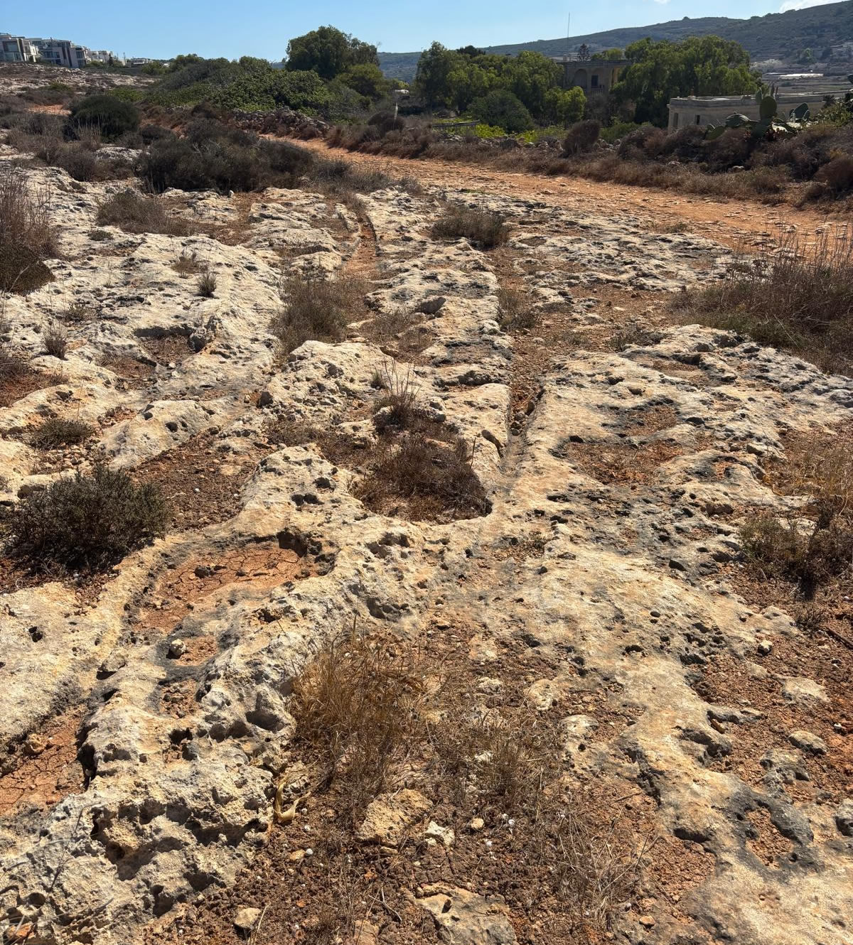
Cart Ruts in the Park
Cart ruts—parallel rock-cut grooves—are one of the many archaeological features preserved within the park’s boundaries.
These carvings likely date to the Bronze Age or Punic period and may be linked to ancient transportation or quarrying routes.
The park also contains other heritage features like ancient tombs, dry stone rubble walls, farmhouses, corbelled stone huts (giren), and rock-cut staircases.
Theories on Function
The purpose of cart ruts has been debated for centuries. Leading theories include:
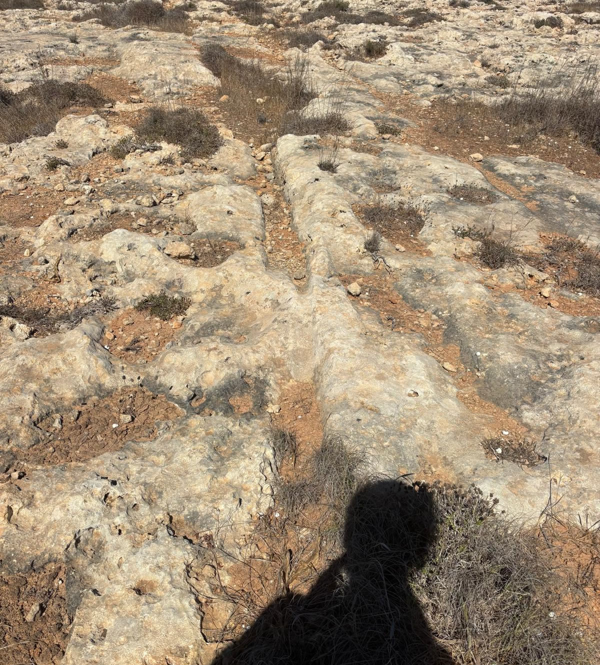
1. Transport Tracks – possibly made by wooden carts with stone wheels, repeatedly wearing into the limestone.
Counterpoint: Many ruts go nowhere, split, or lead to cliffs.
2. Quarrying / Stone Transport – used to move large stone blocks from quarry sites to construction areas.
3. Irrigation Channels – less likely, as they don’t connect to reservoirs consistently.
4. Ceremonial / Ritual – some scholars argue they may have had symbolic or ritual uses, not purely practical.
Dating
Cart ruts are notoriously difficult to date directly.
General scholarly consensus: Late Bronze Age (c. 2000–700 BCE) to Classical/Punic times (Phoenician/Carthaginian period, 800–200 BCE).
Where to Find Them
Cart ruts in Majjistral notably appear on plateau areas such as Xagħra l-Ħamra and ridges above Golden Bay and Mizieb.
The visitor centre (opened in 2014, located near Manikata) can help orient visitors via maps and exhibits and often leads guided nature walks to these sites.
Summary
| Feature | Details |
| What | Cart ruts—ancient rock-cut parallel grooves—found on limestone plateaus in Il-Majjistral Park. |
| When | Possibly Bronze Age to Punic period (c. 2000 BC – 1st century BC). |
| Where | Locations like Xagħra l-Ħamra and ridges above Golden Bay, Mizieb plateau. |
| Why Visit | Part of a rich archaeological and natural landscape featuring tombs, huts, farm buildings, and more. |
| Access | Guided walks and visitor centre available; vehicles restricted to protect the area. |
Around the Park (short distance)
For any formal research, quote or citation, consult primary excavation reports and the National Inventory of the Cultural Property of the Maltese Islands (NICPMI) / Heritage Malta archives.